
Freetown Interactive Map

This interactive map will help you familiarise yourself with the spatiality of Freetown, a city between the mountains and the sea.
We have identified key locations on the map of Freetown. To use it, you need to press on any of the points on the map or on the list on the side. Each point will provide a short description of the place, pictures, and links to additional videos or materials about that place. They will also introduce you to people that you will meet on the course.
At different steps or weeks of the course, you will be referred to the most relevant points of the map, to help you gain an understanding of the entire city. You can come back to this map at any point during the course.
- Red markers show specific points of interest
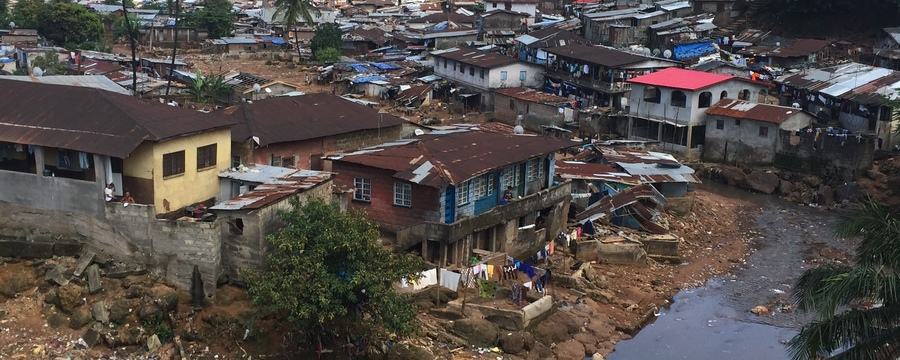
- Green markers show the site of informal settlements
- Blue markers show journeys that you can travel on through the city via video
To look at risk in Freetown in more detail, ReMap Risk Freetown offers a fantastic set of interactive maps as well as interviews with residents discussing risk.
Happy exploring!
Development and Planning in African Cities: Exploring theories, policies and practices from Sierra Leone

Development and Planning in African Cities: Exploring theories, policies and practices from Sierra Leone
Reach your personal and professional goals
Unlock access to hundreds of expert online courses and degrees from top universities and educators to gain accredited qualifications and professional CV-building certificates.
Join over 18 million learners to launch, switch or build upon your career, all at your own pace, across a wide range of topic areas.


