
What is the difference between rain and showers?
It is easy to get confused by what we mean when we talk about rain or showers.
If rain is in the forecast, we would normally expect most or all of the locality to see rain, and for it to last for perhaps a few hours.
Showers are much more scattered and shorter in duration than rain, and not everyone in the locality will get wet at the same time, or even get wet at all.
 Umbrellas in the rain
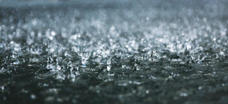 Rain forming puddles
Classifying rain
Rain is classified according to how it is generated.
Convective rain falls from cumuliform clouds, such as cumulus and cumulonimbus. We call these showers, and they tend to be short-lived.
Showers can make excellent photographs; cloud will tend to be broken, casting interesting light and shadow across the horizon.
Showers can be very hit and miss, when sunshine and showers are forecast, you may be unlucky and be in the firing line for quite a few showers, but there is the possibility you could stay dry all day, so it’s a tricky one both to forecast, but also to make decisions on, so some extra information is needed.
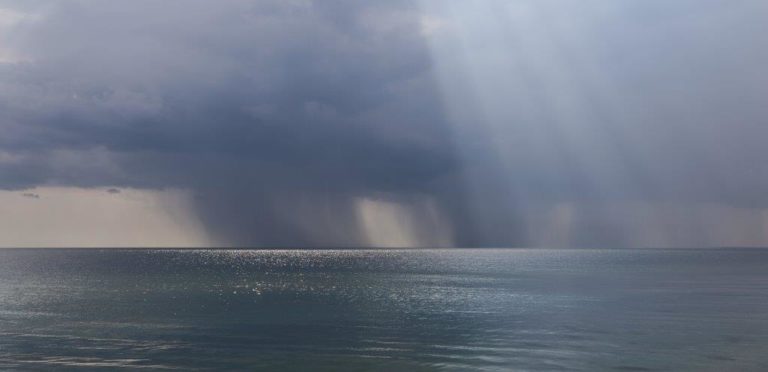 Showers in the distance
Frontal rain
Frontal rain is generated at frontal boundaries, where warm, moist air glides up and over cold, dense air. This produces layer cloud, and tends to last much longer than a shower.
Rain in association with a front often gives a few hours of persistent rain with overcast skies, making activities such as photography difficult; both from a visual point of view, but also as being out in this weather can be fairly unpleasant.
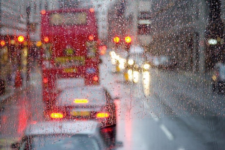 Rain in the city
Orographic rain
Orographic rain results from moist air blowing from the sea over hilly land. Damp air rises, and condenses into cloud. This is why hilly, coastal land is wetter than lower coastal areas.
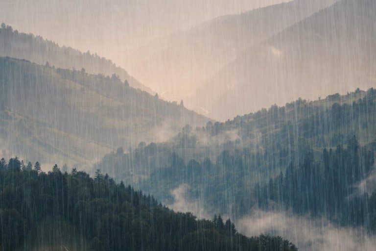 Rain over mountains
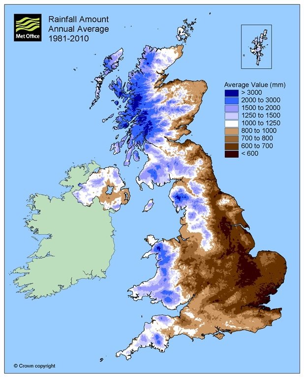 Average annual rainfall in the UK highlighting the wet mountains in the west
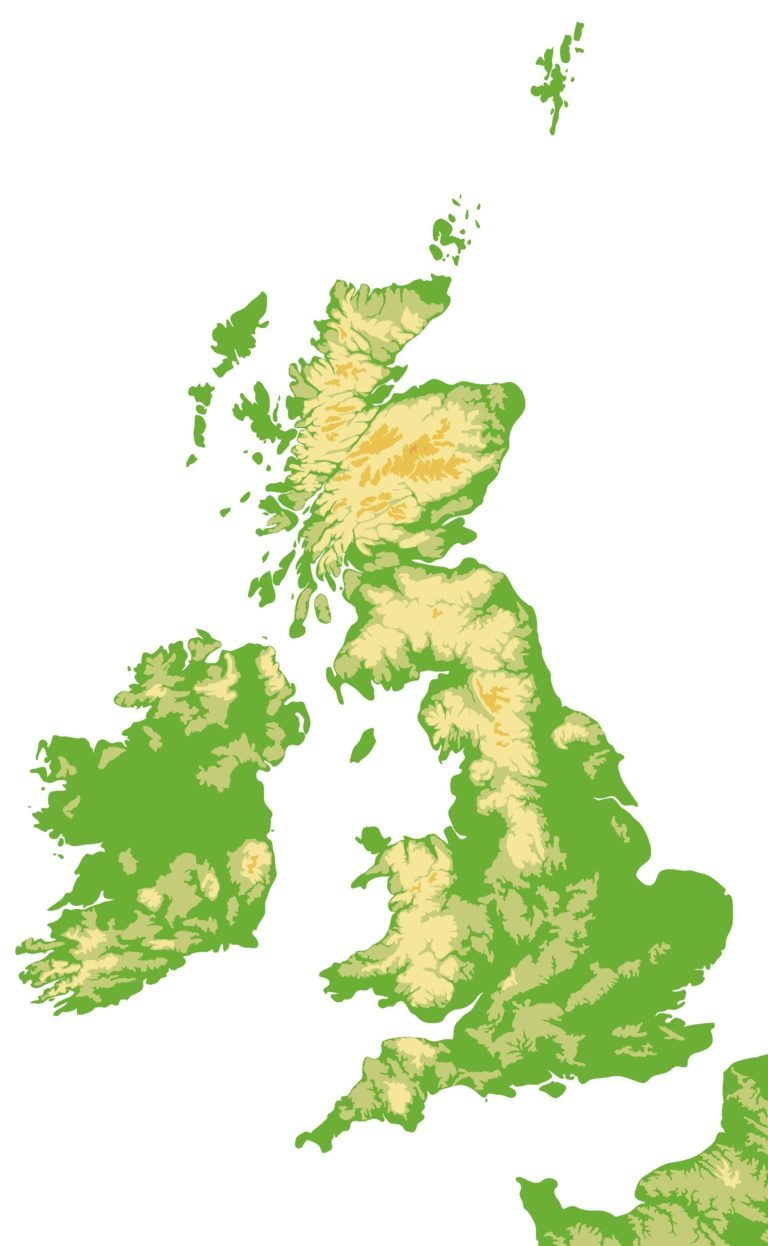 Topography of the UK for comparison with the rainfall map above


Reach your personal and professional goals
Unlock access to hundreds of expert online courses and degrees from top universities and educators to gain accredited qualifications and professional CV-building certificates.
Join over 18 million learners to launch, switch or build upon your career, all at your own pace, across a wide range of topic areas.


