
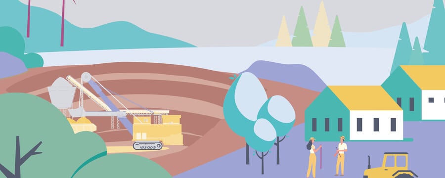
When a quarry is near a protected area
Bonelli’s Eagle and a quarry
Alcover Quarry is located close to the Muntanyes de Prades protected area. Muntanyes de Prades is included in the Plan for Areas of Natural Interest and it was designated as a Natura 2000 site (SPA) in 2005. Covering more than 30,000 ha of privately and publicly owned land, the area is managed by the Department of Territory and Sustainability of the Government of Catalonia. Although the quarry site is located outside of the protected area, its vicinity to the Muntanyes de Prades calls for measures to reduce the environmental impact.

Figure 1: Map of Natura 2000 site (Muntanyes de Prades) in the vicinity of a 5km radius from Alcover quarry
One of the species considered as a priority for conservation in the area is the Bald Eagle (Bonelli’s Eagle, Hieraaetus fasciatus), and as an umbrella species it is used to identify Natura 2000 sites in Spain, in terms of areas covered by conservation plans to guarantee the capacity of the territory to supply food and nesting sites, as an interviewed ecologist working for La Ponderosa company explained. Bonelli’s eagle lives and nests in rocky areas. The species is unevenly distributed in Spain, with more than half of the pairs found in the Mediterranean coastal provinces. Throughout the 80s and 90s the population decreased by 26%, as a result of electrocution, hunting and loss of habitat, to which land use conversion due to new quarries in the area also contributes (Arroyo and Ferreiro, 1997).

Currently, in Catalonia there are a total of 80 couples. According to the Government of Catalonia’s approved guidelines for the management of Natura 2000 network spaces, in areas where Bonelli’s Eagle is present, such as of Alcover quarry, agreements will be promoted with the owners of existing extractive exploitations with the aim of making the restoration tasks compatible with the conservation of the species. In this respect, La Ponderosa has started its own project to contribute to conservation objectives of the species.
Monitoring and compensation – Aligning quarry expansion with conservation objectives
Canteras La Ponderosa’s project for Bonelli’s Eagle started in 2014, at the same time with the third expansion phase of Alcover quarry.
The project initially consisted of radio tracking 10 couples of eagles (one in 8 couples that constitute the total of the population). The aim of the project is to identify the areas where the eagles are nesting, hunting, living, and sleeping. Through GPS monitoring two types of information are collected: the position of the eagle, and if the eagle has stopped or is flying, this information is collected daily. The information collected so far indicates that the eagles are mobile in a considerable area of nearly 250 square kilometers. This vast territory covered, presents threats to the eagle, the most prominent of which, as established previously, is electrification due to electric lines. The main reason why the eagles cover such a big territory is the reduction of extensive livestock farming and change of habitat due to agricultural farming which results in reduced numbers of animals for the eagles to hunt.
In addition to monitoring the species, the project included testing of two compensatory measures. In 2017, La Ponderosa created a refuge for rabbits, which was located in a newly forested area. There also was an agreement with local hunters to temporarily avoid this area. The second measure was implemented in 2018, and constituted of building a pigeon loft in an abandoned house within the property of the company. Both measures sought to increase the positioning of the eagle in the area where the measures were implemented.
To measure the effectiveness of the first measure, a comparison was made between the recorded locations of the eagles during September-December 2017 and the same period in 2018. The first monitoring period indicates an more than 10 fold increase of the presence of the eagles in the compensation area (from 34 times in 2017 to 450 times in 2018). Concerning the pigeons, this measure is considered more effective than the other on the short term. In this case, the eagles were not located next to the pigeons loft, where the pigeons are living, but in the vicinity where they can hunt them more easily. According to an interviewed ecologist working for La Ponderosa company, who had been working on both measures, the main conclusion of these two experiments is that these compensatory measures could have a considerable impact as a midterm action. According to the expert, the location of the quarry in between the two compensatory measures was not an obstacle for the eagles.
However, when it comes to compensatory measures, there are differing expert opinions about their effectiveness: An expert from the Department for Climate Action, Agriculture and Rural Agenda, Government of Catalonia, expressed that they are not enough, and that the ratio between the effort to implement them and the result is often not proportional. Additionally, there is a need to upscale and combine such actions; instead of implementing individual compensatory measures from different individual players, not only from the extractive industry, there should be a strategy that integrates the efforts of different players covering a bigger area, to create more synergy and understand and treat the habitats as a whole rather than in a partial manner.
Parallel rehabilitation contributing to conservation objectives
Public authorities concerned with environmental impact assessment studies highlight biodiversity loss as a key concern in Spain. Rehabilitation plans should be aiming at not only substituting the natural habitat that was affected during the operation, but also to introduce new species in the area which can thrive better in the rehabilitated environment, in other words ‘turning a threat into an opportunity’. Both quarries of Canteras la Ponderosa have adopted an integrated rehabilitation plan: rehabilitation of part of the site during the exploitation period. The map below indicates areas where rehabilitation has already occurred in Alcover quarry (light green), protected areas inside the quarry (darker green) and areas where exploitation is taking place (beige).

Figure 2: Map of Alcover quarry with an overview of areas with rehabilitation efforts
Sustainable Management in the Extractive Industry

Sustainable Management in the Extractive Industry
Reach your personal and professional goals
Unlock access to hundreds of expert online courses and degrees from top universities and educators to gain accredited qualifications and professional CV-building certificates.
Join over 18 million learners to launch, switch or build upon your career, all at your own pace, across a wide range of topic areas.


