Skip main navigation

New offer! Get 30% off one whole year of Unlimited learning. Subscribe for just £249.99 £174.99. New subscribers only T&Cs apply

Find out more

Crowdsourcing maps to provide disaster aid

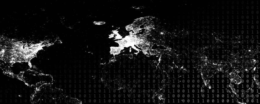
Learn how volunteers coordinate online to submit vast quantities of mapping data in order to support disaster relief efforts.
6.4
Welcome back. We have talked a lot about what people search for online and which kind of information they distribute when they use the internet. We haven’t touched the fact that it’s also possible to collaborate online on really large scales. There are services out there like Mechanical Turk, which allow you to distribute a large task by splitting it up into small individual pieces, and these pieces are completed by humans around the globe. You pay this human a certain small amount of money, and for a number of seconds or a few minutes, these people meet in order to complete these individual tasks which complete the overall huge task you have set.
65.2
So this is one form of online collaboration, to maybe transcribe a video or to do things where it is really complicated to get computers to do it. There are also other forms of online collaboration where people share voluntarily their workforce to complete a major task. And this is in particular important when it is most urgently needed, in particular, during times of disasters. So one example is the disaster which happened a number of years ago in Haiti when a major earthquake hit the country. So after a disaster, it is crucial to have information. You need information where help is needed and, in particular, also how to get there.
126.2
This is of crucial importance if infrastructure got destroyed and maybe map material is not available or no longer up-to-date. Via an open project on a global scale, which is called Open Street Maps, people were able to contribute to help. Open Street Map provides you with information on where roads and streets are located, and you can contribute by updating, by editing this information or to actually add new roads where there was no information before. This is of crucial importance if you look at a country which was just hit by an earthquake. The roads are no longer available to connect one village to the next.
184.2
In a huge collaborative effort around the globe, people updated this material looking at updated satellite images to make sure that helpers can reach the places they are most urgently needed. Within hours, a new updated version of this map for Haiti was created which helped significantly in order to deal with the disasters and to deploy emergency resources.

In 2010, an earthquake of catastrophic magnitude hit Haiti, with devastating results. To deliver the aid required, aid workers needed the best possible understanding of the layout of the island, including its road network.

Watch this video to hear about how volunteers coordinated online to submit vast quantities of mapping data to the OpenStreetMap website in order to support the aid effort.

This article is from the free online

Big Data: Measuring And Predicting Human Behaviour

Created by
FutureLearn - Learning For Life

Reach your personal and professional goals

Unlock access to hundreds of expert online courses and degrees from top universities and educators to gain accredited qualifications and professional CV-building certificates.

Join over 18 million learners to launch, switch or build upon your career, all at your own pace, across a wide range of topic areas.

Start Learning now