Skip main navigation

New offer! Get 30% off one whole year of Unlimited learning. Subscribe for just £249.99 £174.99. New subscribers only T&Cs apply

Find out more

Principles of positioning

Principles of positioning
5.7
PAUL HAVINGA: In this lecture, I will talk about positioning systems, also called localisation systems. Basically, they are the Holy Grail of smart logistics, because it’s essential that you know where are my objects. Where are my crews? How are they doing? At the moment, very basic technologies are being used, and many of those are known by everybody, such as GPS, but more dedicated technologies, like RFD, are also being used for smart logistics. Those systems work quite well, but have got many limitations. Localisation is the mechanism for discovering spatial relationships between objects. And those objects can be anything. They can be objects in the smart logistics. They can also be the objects or relationships between cars, for example, or people.
50.7
And this positioning is being used in many applications in smart logistics. Applications are very diverse. So within the warehouse, you can imagine that you’ve got many goods being transported from one place to another place, being assembled, et cetera. But you can also look into, for example, a hospital. In a hospital there are also many things moving, like beds and medical equipment. But also, the people are moving around and in many cases, people are looking for objects and people are looking for places to be. So in those applications, it’s essential that you know where are things, where are people, where should I go. So that’s the domain of indoor positioning systems. So why is it so difficult?
93.4
Outdoors, you can use GPS. With indoor, you can’t. Why is that? Basically, because indoors, you don’t have a valid and good reception of GPS satellite communication, because GPS is based on satellites far away in space, and they don’t reach indoors. They don’t reach on the ground. They don’t reach the cellars. And also, the accuracy might be a problem for many applications. With GPS, you can achieve, say, five to 10 metres outdoors. But if you want to position it more accurate, for example, in a warehouse, you cannot leave it as five to 10 metres. It has to be a metre, or less than a metre. And also, GPS devices are not that small.
137.5
If you have a very small RFD deck, you cannot attach a big– relatively big– GPS device. So those mechanisms, those techniques, are not suitable for indoor localisation. And now, let’s talk a bit about the systems behind localisation and positioning. Most systems use this mechanism, being called lateration, and lateration is basically very simple. You determine the distance from known positions. So if you’ve got three points in space in which you know the position, and you find out what is the distance of you to those fixed, unknown positions, you can determine your own position by simple calculations. Basically, it’s the intersection of three circle.
190.4
So you have a distance, you make a circle around it, and the intersection of all those three circles is basically your position. But this is based on distance. You need to know the distance from you to those fixed known beacons. So how can you determine the distance? There are many mechanisms for those. Some are very simple and some are much more complex. The simple ones are not that accurate, but they are very simple, so easy to use, cheap, et cetera. The complex ones require additional hardware. So the one that is being used a lot in wireless communication is using the signal strength of the radio. Basically, it determines how loud do you receive a signal.
234.6
If I’m speaking to an audience, the audience which is close to me will receive the signal very loud. That’s obvious. The one who is at the back door, at the end of the hallway, will receive my signal, my voice, less hard. So basically, based on the signal strength you receive, you can determine the distance. So in the radio, this is being called received signal strength indication, also called SSI. This SSI measures the signal strength of a received message. So since this is on most of the wireless communication technologies, this is easy and many people use it. It’s cheap, and you get a raw distance estimation. The signal strength that you receive is now a fairly accurate indication of the distance.
279.1
So in those indoor environments, you have got problems, and most of the problems are being caused by non-line-of-sight effects. Reflection, refraction, diffraction, absorption, but also the antenna orientation, or even the elevation from the current. Or humidity, or temperature. All those elements basically influence the accuracy that you can achieve. So what could you do? Well, you could also try to find out what is the signal strength of a certain position, and that’s called fingerprinting. So what you basically do is you walk around a certain area and you measure every position, what is the signal strength which I receive from the various beacons around me. And you do it all places. So all places, you collect the fingerprint of the radio signals.
330.7
So by having this fingerprinting, you collect a database of signal strength in a certain area. If you then later come back, and you would like to localise yourself in the same area, you just take a snapshot of the radio beacons around you, and then you look up what is the most probable place where I will be. That should be a relationship between what you measure now and what you measured before. Unfortunately, this is also not that accurate at the end, because also the world is changing, and the changes in the monitor space will impact the radio fingerprint. And the dynamic environment will require regular re-calibration. So at the end, the result will be not that accurate.
374.2
You’ll have a high maintenance cost, because you need to do this re-calibration quite often, and this also makes them quite expensive. Another method that you can use is using a time of light. If you send a signal from me to somewhere else, it takes also some time from the radio to propagate from here to there. But this goes very fast. It is not a sound. It travels, basically, with the speed of light. So you need to do something very advanced. You need to make sure that the measured time is accurate. But the basic mechanism is very simple.
411.2
You send a signal from me to somewhere else, then the other person, or the device, transmits it back, and I calculate the time difference. And based on the time difference between sending and receiving the same signal back, determines the distance. To make this more accurate, it has to be repeated multiple times. And also, the hardware needs to be quite accurate, because many things will influence the accuracy also, like the temperature. Another mechanism that you can use
443.4
is this: the time of arrival. It’s also based on timing, but then a bit different. It’s basically the same mechanism as GPS is using. So what you have– using the satellites, the satellites in the air, and the satellites could also be beacons in the environment. And basically, what they do, they send out the signal. They send out a signal at a certain time, and when I receive the signal from the satellites, or from the beacons in the environment, I notice that they will be received at different times because they are further away or closer by. And based on the signals and the difference in time, I can calculate my position. This mechanism is being called time of arrival.
488.4
Another mechanism is being called time difference of arrival. And basically, this mechanism, TDOA, measures the arrival times and compares the differences. So this is basically the opposite from time of arrival, because in this case, the device or the person to be located transmits a signal to the environment, and then the environment will receive my signal at different times. So it has a lot of similarities to the GPS tribal system, but it’s basically reversed. This, however, is also a bit more complicated for the receivers, because they need to synchronise their devices quite accurately. It requires, basically, a full synchronisation among those receivers. This makes them complex and costly.
538.6
On the other hand the senders– so the devices to be located– are simple and cheap. They use it to send out a signal and the other part has to solve the problem. In this lecture you’ve learned about localisation techniques. Localisation techniques include outdoor positioning using GPS, the most used technology, but also indoor technologies, indoor positioning systems. And the combination of outdoor and indoor are basically the basic building blocks of smart logistics.

Basic mechanisms and technologies for positioning and localisation systems are described here.

We discuss basic technologies such as GPS. But also more dedicated technologies, like RFID, are explained in this step.

We also introduce the way localisation and positioning works. Most systems use a mechanism called lateration. Lateration is actually very simple. You determine the distance from known positions to determine the location for an unknown position by simple calculations. Basically, it’s the intersection of three circles.

We furthermore discuss the special challenges that exist for indoor positioning, which is more difficult than outdoor positioning.

This article is from the free online

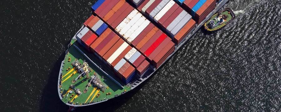
Supply Chain Innovation: How Technology Can Create a Sustainable Future

Created by
FutureLearn - Learning For Life

Reach your personal and professional goals

Unlock access to hundreds of expert online courses and degrees from top universities and educators to gain accredited qualifications and professional CV-building certificates.

Join over 18 million learners to launch, switch or build upon your career, all at your own pace, across a wide range of topic areas.

Start Learning now