Home / History / Archaeology / Advanced Archaeological Remote Sensing: Site Prospection, Landscape Archaeology and Heritage Protection in the Middle East and North Africa / Introduction to the course

Introduction to the course
Introducing the course and outlining course outcomes.

Welcome to this course on remote sensing for cultural heritage protection in the Middle East and North Africa. It has been developed by the Endangered Archaeology in the Middle East and North Africa Project (EAMENA) project. The course describes satellite remote sensing-based methods used by EAMENA and other archaeological projects to document and monitor heritage sites and landscapes.
It is the follow up to our previous course, ‘Endangered Archaeology: Using Remote Sensing to Protect Cultural Heritage’, which introduced the basics of satellite remote sensing using Google Earth Pro, focusing on the use of satellite imagery to study and assess archaeological sites and monitor their condition. You should complete that course prior to studying this one, as it introduces essential concepts and methods. It is free and available in English, French, Arabic, or Farsi.
Outcomes
By the end of this course you will learn:
- The theory behind how satellite imagery is produced.
- How to find, download and begin working with satellite imagery.
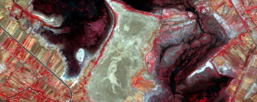
- How to carry out simple multispectral analysis with satellite imagery.
- How to find, download and begin working with topographical data.
- How to georeference historical maps and imagery.
- How to make great maps to display this data.
This article is from the online course:
Advanced Archaeological Remote Sensing: Site Prospection, Landscape Archaeology and Heritage Protection in the Middle East and North Africa
Created by

This article is from the free online
Advanced Archaeological Remote Sensing: Site Prospection, Landscape Archaeology and Heritage Protection in the Middle East and North Africa