
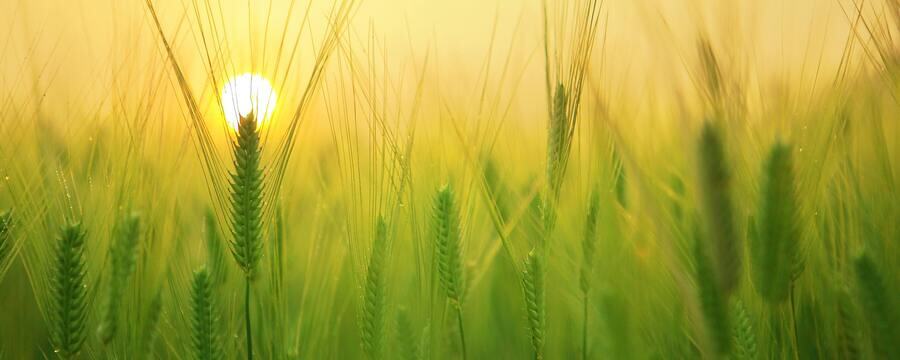
Vegetation indices
Hyperspectral imaging enables the capture of vast amounts of data at a range of wavelengths both inside and outside the range of colours detectable by the human eye. This allows for measurements of both ultraviolet and infrared radiation intensities and everything in between.
The drawback to this approach, however, is the computational and storage costs of dealing with such large amounts of data. Furthermore, in many practical cases, measurement of the full spectral response curve is not needed to capture a feature of interest, rather we more often need a specific point or set of points on the curve. This is where the use of multi-spectral imaging and vegetation indices comes in.
Vegetation indices
A vegetation index is a calculation based on the reflectance of two or more light wavelengths that aims to approximate some aspect of plant biology. This could be the amount of canopy cover, the age or growth stage of a plant, or the monitoring of disease. Such measures are particularly useful when collecting data at very large spatial scales, i.e., at a field scale or above. Data like this is usually captured via remote sensing, either using a UAV (Unmanned Aerial Vehicle or drone) or satellite. Due to the practical challenges of recording and transmitting data remotely, multi-spectral rather than fully hyper-spectral data is often recorded. It is also dependant on the sensors fitted to the imaging device, which of course may have been built many years ago, or have limitations in payload weight. For example, Sentinel2, an earth observation satellite launched and maintained by the European Space Agency records and transmits data at 13 bands in the visible and infrared parts of the spectrum (https://www.esa.int/Applications/Observing_the_Earth/Copernicus/Sentinel-2).
Example data taken from Sentinel-2 using the Python API. https://sentinelhub-py.readthedocs.io/en/latest/
NDVI
[NDVI = frac{NIR-RED}{NIA+RED}]
Interpretation of NDVI
Other indices
Several multi-spectral indices have also been developed based on NDVI for use in specific contexts such as SAVI (Soil Adjusted Vegetation Index), which adjusts for soil reflectance in areas with lots of exposed soil, and EVI (Enhanced Vegetation Index), which adjusts for atmospheric and canopy background noise in regions with high biomass. Another index you might encounter is FAPAR (Fraction of Absorbed Photosynthetically Active Radiation), which measures exactly what you might expect from the name and is often used to estimate carbon dioxide uptake by plants. Although most of these indices are designed to be computationally lightweight and utilise multispectral data, improvements in technology have enabled the development of vegetation indices that use hyper-spectral data, such as MDI (Moment Distance Index).
Leaf area index
Finally, another measure you might encounter in this context is LAI (leaf area index). This is defined as the fraction of leaf area to ground area and so is effectively the ‘true’ value of plant canopy cover.

If, for example, you were to take a picture of a plant or plants from above, to calculate LAI you would need to calculate the area of the image containing leaf material relative to the total area of the image. In practice, if the camera is a long distance away from your area of interest it is often difficult or impossible to distinguish even individual plants, and so simpler measures like NDVI may be used instead to estimate vegetation cover. Often in fact, NDVI measurements are used to estimate the true LAI values over large scales and over time.
Summary
As always in research the correct data acquisition and use of these indices will depend on context (and also budget!), but hopefully this article provides some useful jumping off points if such an approach would be relevant to your research. For a list of vegetation indices see https://en.wikipedia.org/wiki/Vegetation_Index
Introduction to Image Analysis for Plant Phenotyping

Introduction to Image Analysis for Plant Phenotyping
Reach your personal and professional goals
Unlock access to hundreds of expert online courses and degrees from top universities and educators to gain accredited qualifications and professional CV-building certificates.
Join over 18 million learners to launch, switch or build upon your career, all at your own pace, across a wide range of topic areas.


