Home / Creative Arts & Media / Biology & Biotechnology / Introduction to Image Analysis for Plant Phenotyping / Aerial imaging

Aerial imaging
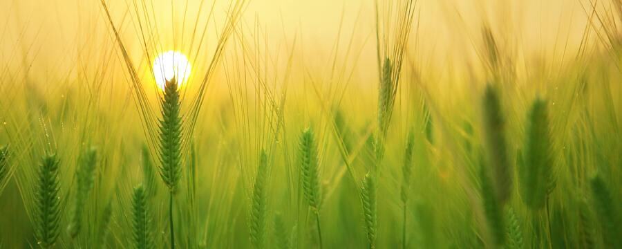
A description of how multiple images aquired via aerial imaging can be stitched together using image registration and orthomosaicing.
When image data is collected from an aerial imaging platform such as a UAV or a satellite, the result will often be many overlapping images, possibly from slightly different angles.
To use the data then, the images need to be stitched together using a process called orthomosaicing, as described in this video.
This article is from the online course:
Introduction to Image Analysis for Plant Phenotyping
Created by

This article is from the free online
Introduction to Image Analysis for Plant Phenotyping
Reach your personal and professional goals
Unlock access to hundreds of expert online courses and degrees from top universities and educators to gain accredited qualifications and professional CV-building certificates.
Join over 18 million learners to launch, switch or build upon your career, all at your own pace, across a wide range of topic areas.


