
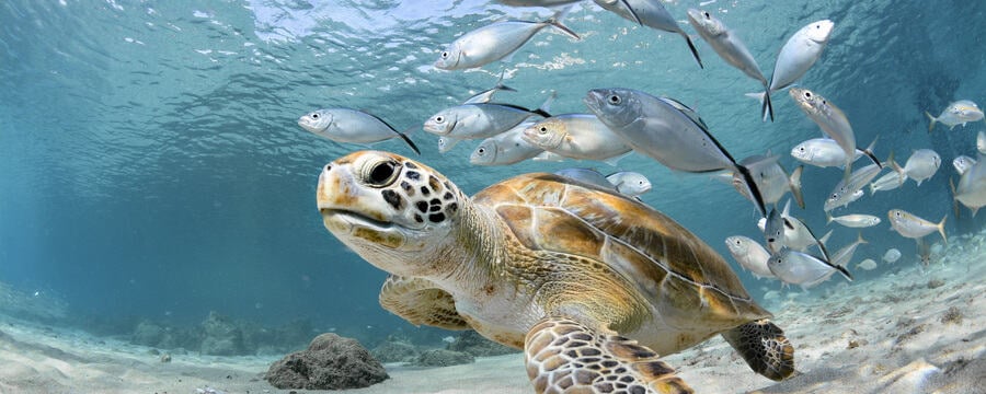
Mapping underwater habitats
Since the 1970’s, we have been using Earth Observation Systems, such as the Landsat satellite, to monitor the land and ocean surfaces, biosphere, solid Earth and atmosphere. We can use satellite images in shallow, clear waters, to cost-effectively map underwater ecosystems such as coral reefs. However, satellite imagery has usually lacked the detail and frequency to efficiently map these habitats. Issues such as water turbidity and cloud cover add to the challenges.
More recently, higher-resolution satellite imagery and machine learning algorithms have been used to map all shallow coral reefs in the world. Moreover, technological advances have made other tools such as drones and underwater cameras readily available to map coral reefs in unprecedented detail. Nevertheless, the ocean is huge, and the perfect sensor does not exist as there is always a compromise between resolution, spatial extent, and cost. The quest for mapping underwater environments still has a long way to go.
Life Below Water: Conservation, Current Issues, Possible Solutions

Life Below Water: Conservation, Current Issues, Possible Solutions
Reach your personal and professional goals
Unlock access to hundreds of expert online courses and degrees from top universities and educators to gain accredited qualifications and professional CV-building certificates.
Join over 18 million learners to launch, switch or build upon your career, all at your own pace, across a wide range of topic areas.


